
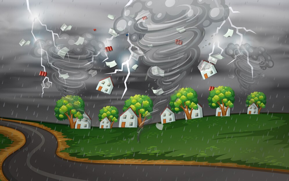
In an increasingly interconnected world, the need for effective disaster management has never been more critical. Natural disasters, such as earthquakes, floods, hurricanes, and wildfires, pose significant threats to communities, infrastructure, and livelihoods. In times of crisis, timely and accurate information is essential for decision-makers to coordinate response efforts, allocate resources, and mitigate the impact of disasters. This is where Geographic Information Systems (GIS) emerge as powerful tools for disaster management.
Understanding GIS
Geographic Information Systems (GIS) are technology platforms designed to capture, store, analyze, and visualize spatial data. GIS integrates various types of geographic information, such as maps, satellite imagery, and demographic data, to provide a comprehensive understanding of the geographic context. By layering different datasets and applying spatial analysis techniques, GIS enables users to gain insights, make informed decisions, and solve complex problems related to geography and the environment.
Usage of GIS for Disaster Management
GIS offers a wide range of applications for disaster management, revolutionizing the way emergency responders, government agencies, and humanitarian organizations prepare for, respond to, and recover from disasters. Here are some key ways in which GIS is utilized in disaster management:
1. Risk Assessment and Hazard Mapping
GIS enables analysts to assess the risk of natural disasters by overlaying hazard maps with demographic, infrastructure, and environmental data. By identifying areas prone to hazards such as floods, landslides, or seismic activity, decision-makers can prioritize mitigation efforts, enforce building codes, and develop evacuation plans to reduce vulnerability and enhance resilience.
2. Emergency Response and Situational Awareness
During a disaster, real-time information is crucial for emergency responders to assess the situation, prioritize resources, and coordinate response efforts. GIS provides a common operating picture by integrating data from multiple sources, including field reports, sensor networks, and social media feeds. This enables responders to visualize the extent of the disaster, identify areas of need, and deploy resources effectively to save lives and protect property.
3. Damage Assessment and Infrastructure Analysis
After a disaster strikes, GIS is instrumental in conducting damage assessments and evaluating the impact on infrastructure, buildings, and critical facilities. By analyzing satellite imagery, aerial photographs, and field surveys, GIS helps assess the extent of damage, identify areas in need of repair, and prioritize reconstruction efforts to restore essential services and infrastructure.
4. Evacuation Planning and Route Optimization
GIS facilitates evacuation planning by analyzing population density, transportation networks, and evacuation routes to identify the most efficient paths for evacuees to reach safety. By simulating various scenarios and traffic conditions, GIS helps optimize evacuation routes, allocate resources such as shelters and medical facilities, and ensure the smooth flow of traffic during emergencies.
5. Community Engagement and Public Awareness
GIS empowers communities to become more resilient to disasters by providing access to interactive maps, hazard information, and emergency preparedness resources. By engaging citizens through web-based mapping applications and community outreach initiatives, GIS promotes public awareness, encourages disaster preparedness, and facilitates collaboration between stakeholders to enhance community resilience.
6. Post-Disaster Recovery and Reconstruction
In the aftermath of a disaster, GIS plays a crucial role in supporting recovery and reconstruction efforts. By analyzing spatial data on damage assessments, infrastructure status, and socio-economic indicators, GIS helps decision-makers prioritize recovery projects, allocate funding, and monitor progress over time. GIS also facilitates communication and coordination among government agencies, non-profit organizations, and private sector partners involved in the rebuilding process.
Conclusion
Geographic Information Systems (GIS) have revolutionized disaster management by providing decision-makers with powerful tools to assess risks, coordinate response efforts, and support recovery and reconstruction initiatives. By leveraging spatial data, mapping technology, and advanced analytics, GIS enables stakeholders to make informed decisions, allocate resources effectively, and enhance community resilience in the face of natural disasters. As the frequency and intensity of disasters continue to rise, the role of GIS in disaster management will only become more critical in safeguarding lives, protecting property, and building more resilient communities for the future.